Convert Longitude and Latitude to UTM Fast
Convert longitude and latitude to UTM (and UTM to lat/long) with clear steps, worked examples, and a free tool. Accurate, field-ready guidance.
GpsField
Field GIS Specialist · 8 min read
Convert Longitude and Latitude to UTM Fast
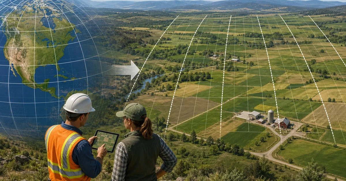
If you need to convert longitude and latitude to UTM quickly for a field layout, staking, or map handoff, use GpsField’s GPS and coordinate tools to transform your coordinates into UTM Easting and Northing in the correct zone and hemisphere. Paste decimal degrees or DMS, choose the direction (lat/long to UTM or UTM to lat/long), select the datum (usually WGS‑84), and copy the results. Then verify on a live map in the Free map workspace before sending coordinates to crews.
UTM vs Latitude/Longitude: What You’re Converting
- Latitude/Longitude (geographic) describes a position as angles on the globe, measured in degrees on the WGS‑84 ellipsoid (the Earth model used by most GPS and web maps).
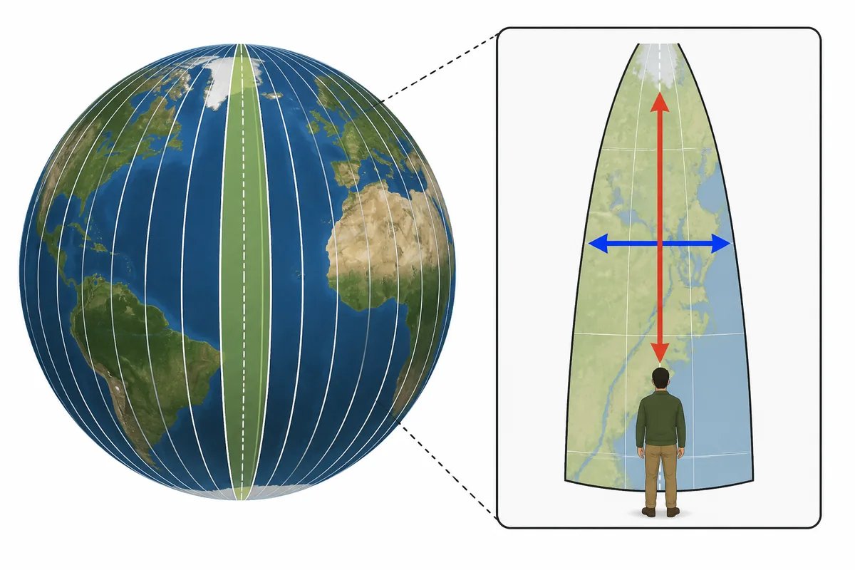
- UTM (Universal Transverse Mercator) replaces angles with a metric grid. The world is split into 60 zones, each 6° of longitude wide. Positions are given as Easting (metres) and Northing (metres) within a specific zone and hemisphere (N or S).
- Why convert: On farms, job sites, and survey plans you often need distances and offsets in metres. UTM is convenient for measuring and setting out because the units are linear and scale is locally consistent within a zone.
Quick steps: longitude and latitude to UTM (and UTM to lat/long) in GpsField
- Open the GPS and coordinate tools (UTM, MGRS, DMS) at GpsField: https://gpsfield.com/tools?category=gps
- Choose the conversion direction you need: Lat/Long → UTM or UTM → Lat/Long.
- Enter your coordinates:
- Decimal degrees example: 28.6139, 77.2090
- DMS example: 28°36'50.0"N, 77°12'32.4"E
If you have DMS but need decimals (or the reverse), use the DMS ↔ Decimal tool. This guide helps: Degree to Decimal: Fast GPS Conversion for Field Work.
- Select the datum if the tool offers it. Use WGS‑84 unless your data specifically states another datum (e.g., NAD83).
- Run the conversion and copy the full UTM result: Zone, Hemisphere, Easting (m), Northing (m). For the reverse, copy the latitude and longitude (in decimal degrees or DMS).
- Visual check: open the Free map workspace (no signup), drop a point at the converted location, and confirm it lands where you expect on the satellite map.
Field use tip: Save points and labels so crews see both UTM and Lat/Long on one project
In the workspace, add a point marker at your location, then include both formats in the point’s name or notes (for example: “Borehole BH‑03 — 31N 503210 mE 4112340 mN / 37.123456°N, −113.123456°”). Save your project so the whole team is looking at the same numbers on one map.
Worked examples you can reuse
-
Example A (determine the UTM zone from longitude)
A ranch gate at longitude −105.27°.
Formula: Zone = floor((lon + 180)/6) + 1
Calculation: floor((−105.27 + 180)/6) + 1 = floor(74.73/6) + 1 = floor(12.455) + 1 = 12 + 1 = 13
Result: UTM Zone 13. Use N if latitude ≥ 0; S if latitude < 0. -
Example B (exact easting at a central meridian, northern hemisphere)
Point at Lat 0°, Lon 3°E.
3°E is the central meridian of UTM Zone 31.
By definition, Easting at the central meridian is exactly 500,000 m.
At the equator in the northern hemisphere, Northing is 0 m.
Result: Zone 31N, E = 500,000 m, N = 0 m. -
Example C (southern hemisphere equator)
Lat 0°, Lon 33°E.
Zone = floor((33 + 180)/6) + 1 = floor(213/6) + 1 = floor(35.5) + 1 = 35 + 1 = 36
In the southern hemisphere, the equator is assigned N = 10,000,000 m (false northing).
At the central meridian, Easting = 500,000 m.
Result: Zone 36S, E = 500,000 m, N = 10,000,000 m. -
Example D (farm block in Queensland, Australia)
Longitude 147.0°E.
Zone = floor((147 + 180)/6) + 1 = floor(327/6) + 1 = floor(54.5) + 1 = 54 + 1 = 55
If latitude is south, Hemisphere = S.
Use GpsField to convert your exact latitude/longitude to precise Easting/Northing in metres.
Why these numbers matter: Knowing your zone and hemisphere prevents 100+ km misplots
If you send coordinates in the wrong zone or hemisphere, points can land tens to hundreds of kilometres off. Always log Zone, Hemisphere, Easting, Northing, and Datum together. When in doubt, plot the result on a map before staking or navigating.
Choosing the right datum (WGS‑84, NAD83, etc.)
Most GPS receivers and web maps operate on WGS‑84. If your survey drawing, engineering design, or GIS dataset states a different datum (e.g., NAD83 in North America), either keep everything consistent on that datum or apply an appropriate transformation before mixing data.
Mixing datums without transforming can shift positions by metres, which is enough to cause layout or boundary errors. Confirm the source datum of your inputs before converting. If you are unsure, ask the data provider or test a known control point to see if results align.
UTM to geographic coordinates with datum explained
Converting UTM back to latitude/longitude is the inverse of the same math. The datum is crucial because latitude/longitude on WGS‑84 will not exactly match latitude/longitude on another datum for the same physical point. Keep the datum consistent throughout your workflow.
For a plain-language overview of datums and why WGS‑84 and NAD83 differ, see the U.S. National Geodetic Survey’s resources at noaa.gov (authoritative, technical background).
Converting longitude latitude to easting and northing: step-by-step checks
- Confirm input format:
- Decimal degrees: e.g., 28.6139, 77.2090
- DMS: e.g., 28°36'50.0"N, 77°12'32.4"E
If needed, convert DMS ↔ decimal here: Degree to Decimal: Fast GPS Conversion for Field Work.
- Confirm signs and hemisphere: West longitudes are negative; South latitudes are negative in decimal degrees.
- Determine the UTM zone from longitude with Zone = floor((lon + 180)/6) + 1, then run the conversion to get Easting/Northing.
- Record the full output together: Zone, Hemisphere (N or S), Easting (m), Northing (m), Datum (e.g., WGS‑84).
Troubleshooting: common conversion errors (and quick fixes)
- Wrong zone: Recalculate using Zone = floor((lon + 180)/6) + 1. If you are near a zone boundary, confirm by plotting the point on a map.
- Hemisphere swapped: Check the sign of latitude. If latitude is negative, use the S hemisphere.
- DMS vs decimal mix-up: Convert to the correct format first. A swapped format can shift your point far off.
- Datum mismatch: Make sure the input and output use the same datum (commonly WGS‑84). If your plan is NAD83, convert carefully and verify.
- Copy-paste ordering: Many forms list Latitude first, then Longitude. Verify the label order before pasting to avoid swapping fields.
When to use UTM in the field
- Farm and irrigation layouts: Stake out pivots, beds, levees, and pipe runs using metres, and check alignment quickly.
- Construction sites: Set out offsets for pads and roads, measure haul routes, and document stockpile locations.
- Survey/GIS: Create buffers, grid sampling plans, and map prints with consistent metric scales.
- Logistics/outdoor: Share waypoints with metre-level clarity for handoffs between teams and devices.
Next step: convert and verify on a live map
- Convert your coordinates in the GPS and coordinate tools (UTM, MGRS, DMS).
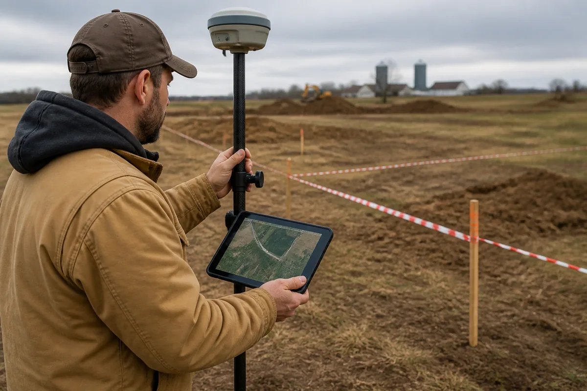
- Open the Free map workspace (no signup), drop a point at the converted location, and sanity‑check satellite imagery, access roads, and nearby landmarks.
- If you also need to move data between formats, use the GIS file converters (KML, GeoJSON, Shapefile, GPX, DXF) to prep files for your GIS or CAD workflow. For layout and area checks after plotting, see the Area and measurement tools (acreage, perimeter, radius).
Note: For legal property boundaries, land registration, or construction setting‑out, use a licensed land surveyor. Conversion math is exact, but final boundaries and set‑outs require professional survey control.
Frequently asked questions
How do I determine the correct UTM zone from a longitude value?
Use Zone = floor((longitude + 180)/6) + 1. For example, a longitude of −105.27° gives Zone = floor((−105.27 + 180)/6) + 1 = 13. This works worldwide, but be aware of special-case adjustments at very high latitudes (Norway/Svalbard). When close to a zone edge, confirm by plotting the point on a map.
Can I convert UTM to latitude and longitude with the same tool?
Yes. In GpsField’s GPS and coordinate tools, choose the UTM → Lat/Long direction, enter Zone, Hemisphere, Easting, and Northing, select the datum (usually WGS‑84), and run the conversion. Copy the latitude/longitude in decimal degrees or DMS and verify on the live map before sharing.
Which datum should I pick when converting UTM and why does it matter?
Pick the datum that matches your source data. Most GPS/web maps use WGS‑84, while some survey plans use NAD83 or others. Mixing datums without proper transformation can shift points by metres, which is enough to mis‑stake a fence line or misplace a stockpile. If unsure, check with the data provider or validate on a known control.
What’s the difference between Easting/Northing and Latitude/Longitude in practice?
Easting/Northing are linear distances in metres within a UTM zone, which makes measuring offsets, lengths, and areas straightforward. Latitude/Longitude are angular measures (degrees) on an ellipsoid; they’re universal but less convenient for on‑site distance math. For plotting, layout, and navigation in metres, UTM is often more practical.
Ready to convert your coordinates and double‑check them on a live map? Start now in the GPS and coordinate tools: https://gpsfield.com/tools?category=gps
Tags & Topics